$ a real-time GPS navigation system with two routing algorithms
NavSys is a Java desktop application that turns a USB satellite receiver into a working navigation system. It reads raw NMEA GPGGA sentences from the serial port, parses the coordinate data, and displays live position on a map rendered in Swing. Setting a destination triggers route calculation using either Dijkstra's or Bellman-Ford on a graph of road nodes, with automatic rerouting if the current position drifts off the calculated path.

GPS data arrives continuously on the serial port via jSerialComm. A GPSReaderTask
extends SwingWorker, running the read loop on a background thread and publishing parsed
coordinates to the Swing Event Dispatch Thread via publish()/process().
This keeps the UI responsive while handling a continuous byte stream.
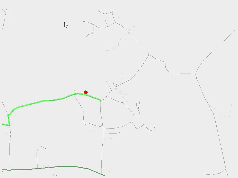
Each GPGGA sentence encodes latitude and longitude in DDmm.mm format (degrees plus decimal minutes). The parser converts this to decimal degrees for all downstream math. The road network is stored as an adjacency list graph; each node is a GPS coordinate and each edge has a distance weight.
Route calculation runs the selected algorithm (Strategy pattern, swappable at runtime) from the
current position to the destination. The Label Setting Algorithm (Dijkstra's) uses
PermanentLabelBuckets, buckets of 1km width, instead of a standard priority queue.
Nodes are partitioned into buckets by tentative distance and the minimum is found by scanning only
the current bucket, reducing overhead for dense urban graphs. The Label Correcting Algorithm
(Bellman-Ford) runs with early termination: if a full pass makes no relaxations, it exits before
completing all iterations.
Off-route detection uses point-to-segment distance with dot product projection to find the closest point on each road segment to the current GPS position. If the nearest segment is farther than a threshold, rerouting triggers. The reroute implementation pre-computes all shortest paths from the destination rather than the source, so any new source position finds its path in O(P) time (path length) rather than rerunning the full algorithm.
The biggest challenge going in was that I knew nothing about GPS technology. I learned about satellite receivers, NMEA sentence formats, and coordinate systems while simultaneously building the parser and integration layer, each piece of new knowledge revealed a new assumption in the code that needed fixing.
Real-time performance was the central technical constraint. GPS data arrives continuously and must
not block the UI thread. The SwingWorker producer/consumer model solved this cleanly:
the background thread reads and parses, then hands coordinate updates to the EDT through the
framework's built-in handoff mechanism. This pattern also made the Observer chain from GPS → map
display → route update straightforward to wire up without manual thread synchronization.
The rerouting problem looked like "just run the algorithm again" but has a hidden cost: the source changes on every reroute, so a source-rooted shortest path tree becomes stale immediately. Pre-computing the all-shortest-paths tree from the destination inverts the direction and makes rerouting a simple lookup regardless of where the current position is.
This project spanned hardware integration, real-time data processing, and algorithm implementation, a much broader scope than typical coursework. Some key takeaways:
 hunter baker